Showing posts with label NationalPark. Show all posts

Tuesday, January 31, 2023

Blueys Beach -Booti Booti -Wallis Lake -Red Head -Black Head -Wallabi and Old Bar.

 Navigating NSW coast generally north as the weather is sunny and warm. Free camping and spending my days reading-snoozing, swimming-walking. Working hard at not going anywhere specific, just cruising.

A fellow traveller and I recently talked about trig points and geocaching and lo and behold I started coming across TPs everywhere, well almost. If you want a special out of the way, unusual, special view, walk or indeed trek, go exploring TPs. Get of the beaten track or just a popular tourist spot, interesting.
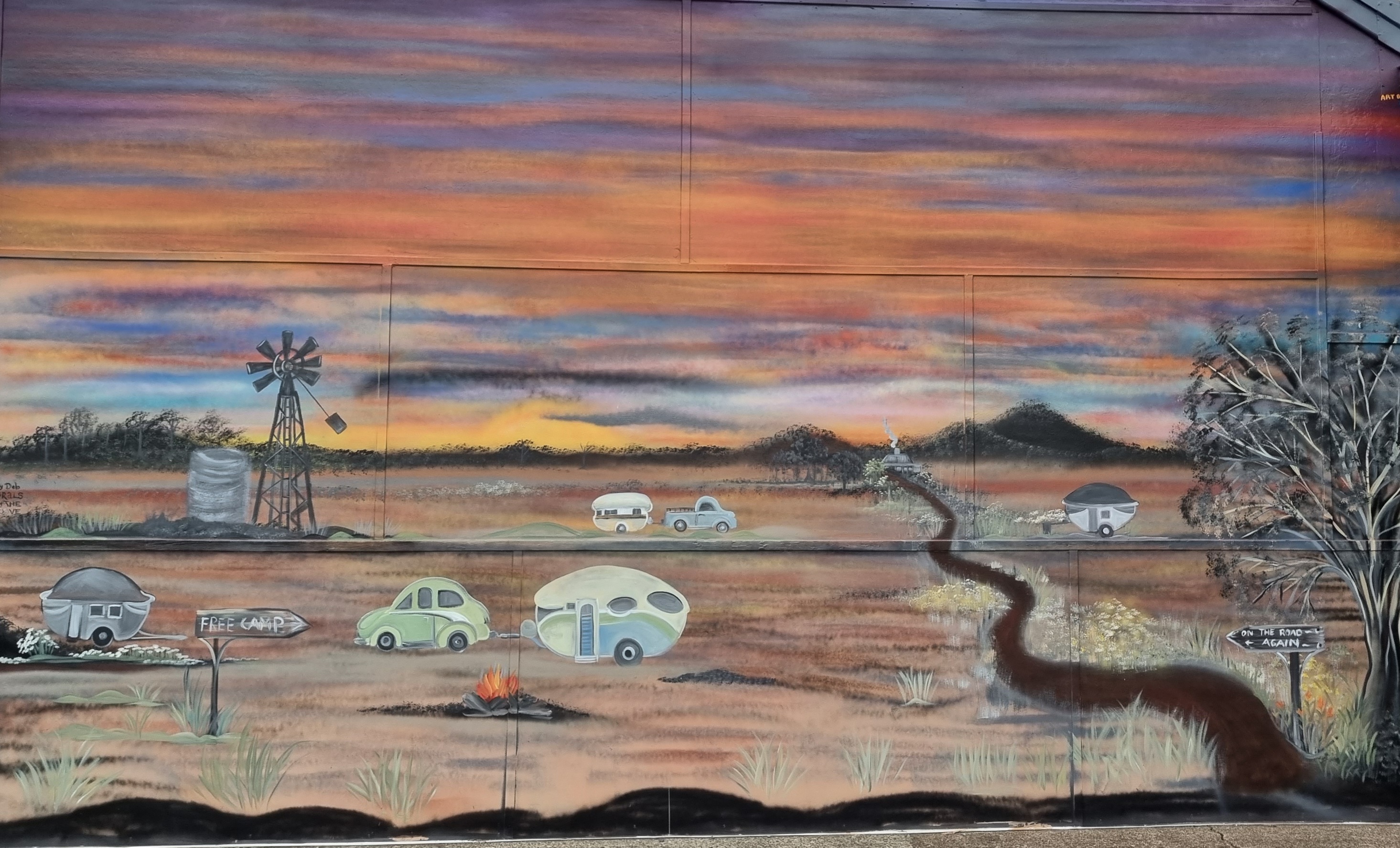
Haven't played where-is-it for while.


Sunday, August 27, 2017

Cairns and Kuranda


One train to another. This time it's the Kuranda tourist train and the Skyrail cableway. The Karunda tourist train is very interesting and the audio commentary along the way details points of interest and historical facts. The climb takes nearly two hours up the Macalister Range and through the Barron Gorge NP to the very touristy town of Kuranda.

The markets at Kuranda sell all sorts of stuff I don't need and there are lots of food options as well. A short walk to the Skyrail terminal and the cableway takes you back down again.

The cableway has two stops where it's possible to disembark and walk the tropical rain forest and viewing platforms overlooking the Barron Falls. Overall it's about 7km cruising the tree tops. For me, the details regarding the building of the cableway are far more interesting than the ride itself.
 

Tourist train on the way up.

Skyrail on the way down.

Tuesday, April 4, 2017

Moving On.

Anticipation running high.

Been assured the shocks are finally on the plane at LAX. The tyre guy has a new set waiting and the suspension guy has had the new springs for weeks now, so its all go. Just need to get her (the MH) back to Maroochydore. With Debbie dumping rain and flooding along the coast and the slip in overnight temperatures in the highlands, that rules out the M1 and New England, The Newell is the logical alternative. Not one of my favs but...

Went via Coolah and Binnaway, then The Newell to Narrabri. Coolah is an interesting town and its a shame we didn't get a BlazeAid camp up there, Black Stump and all. Deviated from the Newell via Mt Killarney Gap Rd and Mount Kaputar National Park for the night. Then on to Bingara, Texas, and Dalveen. Yep, a night on top of the divide on the New England. A testament to my dislike of The Newell I expect? Now a run down to the coast and then the Bruce. Never know what to expect with that one.

Coolah Pub

Mt Kaputar NP.

Volcanic Piping?

Dumaresq River, Texas. Never seen it this high.

Monday, February 29, 2016

Barnawartha Scenic Reserve


Each morning one of the first things I see out my window is this hill. Gunna climb that one day! So after eight weeks of saying it -today's the day. On the push bike about 6am. Short ride via a shortcut tunnel under the Hume highway.

Sunrise 6.58am. Plenty of time to get to the top. Not so. It's all a bit steeper than anticipated. No tracks to follow and unsure which way, other than up, slows me down. The most direct route was steep :( and slow going for the last bit. Lots of spider webs stretching between trees, YUK!

But as they say the view made it worth the effort.


click on an image to enlarge
My View each morning -the hill in the background

Hume Highway snakes around the hill

Wooragee Range

Indigo Valley

Looking back at the BlazeAid Camp at the sports ground

Tuesday, January 19, 2016

Cottadidda NP


Time for a break. Stopped at Rutherglen for morning tea then on to Mulwala to do the laundry and get a few items from the supermarket. Next stop Barooga and a camp spot on the Murray River at Quicks Beach in the Cottadidda National Park. Love this spot -when it's quiet. Sadly not the case this Sunday but not too bad, ski boats and families, should be OK at night. Actually next day the tents and caravans are still here but all the people have gone. Locals gone to work?

Dawn.

Monday, December 21, 2015

Cotton Tree - Mt Warning


Well the time comes to move on. Been here for a good long while. On nodding terms with lots of the locals. Not any more.

Had a last paddle on the Maroochy River. I will miss that let me tell you, especially the Slack Boarding (Sit On SUPping) with my paddle buddy.

First-up in the 'Great Southern Tour 2016' is to climb Mt Warning.

Mt Warning and the Wollumbin National Park is close to the border of NSW and Qld and inland from Byron Bay and because of it's 1146m hight is the first bit of Australia to feel the sun's rays each morning. I've detoured to places for far more tenuous reasons than that.

So a quick look at the acute angle of the base car park tells me I won't get a good nights sleep here, so its down the hill 2km and about 200m vertically to a nice road side picnic spot complete with babbling brook. Yep this will do for the tonight. About 3am I start hearing vehicles labouring up the hill to the base car park - that'll be the very keen sunrise hikers. I'm tempted but have decided it's more of a photo op on the way up rather than just the one shot at the top. So I will start about 5am.

First mistake: deciding to walk to the base car park rather than drive. My thought was its only 2km, yes a steep gradient, but hey just 2km. Turns out the walk up to the car park was not the issue it was the walk back down, after doing the mountain.

Second mistake: was to go on a day when the cloud cover was below 1000m. I get to the top and the temp drops by about 20deg, or felt like it, and its a white out.

There is lots of information on-line about the climb but here are some of my thoughts: Its a good hike but be aware its very long and steep and the last 400m is as the sign says at the base "tough". When reaching the chain I didn't have a lot left in the energy department. Six km and about 900m vertical, then this chain. No photo shows you the true angle -it was getting close to vertical. Anyway, did it. But the worst was yet to come, the trip down. Don't think I was the first to wonder what a helicopter ride would cost? Besides the aggravation from the rescue people when they find I didn't break my leg. Hmm how much pain is associated with a broken leg anyway?

The best thing is it has put me in exercise credit for a bit. And I think I got some good photos, be it only below the cloud cover.


First view of the summit,
walking to the base car park

Steps or gibbers mostly good footing.

Looking East.

The last shot before the white-out

The dreaded chain. 

Thursday, November 5, 2015

Mt Coolum.


It's a 20min drive from Cotton Tree to Mt Coolum, before seven in the morning it's smooth and uneventful. Car park is all but full, one spot for me to park, now that's nice; don't want to have to walk too far to get to the walk.

Mt Coolum is a circular volcanic dome a bit over 200m high. It's a very popular hike, especially after the Parks people fixed the track with lots of steps and rock base to stop erosion. This morning it's busy, I've seen far worse, and it's already hot in the sun but there is a cool breeze from time to time. Being as close as it is from Cotton Tree I've done this hike quite a few times and am always looking to improve on my best time. Hikers are evenly spread along the track, mostly females, mostly young, and no kids, that's a bonus. I overtake a few. No one overtakes me, phew!

The view from the summit is always good. Sometimes you get to see whales swimming south just a few kms off shore, but not this morning. Weathers not the best for a photo, but at least it's not blowing a gale.


Mt Coolum in the distance as seen from out front of my MH.

No whale spotting this morning.

Monday, October 5, 2015

Glass House Mountains - Mt Ngungun


Mt Ngungun.

Timing not that bad, an early start and a drive to Glass House Mountains, arriving before the hordes. Only a few in front of me this morning, about 5 in the car park on Fullertons Rd.

Mt Ngungun is an easy hike on a good track with stairs where required. The last bit, the summit, is across a rocky outcrop that is taken more slowly. But all in all an easy outing taking about 30 mins up and 20 down. Just a few photos from me as there is heaps of stuff on-line -others have already done a more complete job of describing the hike, so I won't.

My advise: get there early as I passed heaps of people on the way down and the car park was full. Mind you it was school holidays.


The last bit.

Looking back from the top.

Saturday, September 12, 2015

Isla Gorge NP to Chinchilla


Headed south to Theodore, decision time: Cracow and on to the Burnett Hwy or Isla Gorge NP via the Leichhardt Hwy? Isla Gorge wins out, somewhere new always has special attraction. It's only small and has just a few camp sites, but its quiet and very picturesque.

Then on down the Leichhardt Hwy to Condamine, Caliguel Lagoon and Meandarra. Did a service on the MH, grease and oil change, then watched the Storm defeat the Roosters in the first game of the NRL finals.

TV reception needs to be good for the next couple of days, more games this weekend, Saturday night and Sunday. Chinchilla Lake fits the bill nicely.


Isla Gorge NP - The view from the bluff.

Friday, July 24, 2015

Almaden and Chillagoe


Driving on the Burke Dev Road out to Dimbulah, planning to stop at Eureka Creek Station to attend a camp draft and bush races. Whilst at Dimbulah, having morning smoko, we noticed the Savannahlander stopped at the station. Walked over for a look-see and found a film crew making a special to be aired later in the year "Outback Train Adventures" or something. They needed some extras, well I thought so, to wave as the train left the station :)

Turns out my travelling companion had not been to Chillagoe before, so On On to Chillagoe stopping at Almaden, just a rail station and pub. Greeting the train this time. Another opportunity to get in front of the camera?  No not this time.

The road from Almaden to Chillagoe is not motorhome friendly, having four sections of dirt that amount to about 15km, but taken slowly its not too bad and it's worth the dust as there is lots to see, unusual geological formations, caves and history. Also good for the odd photograph especially if you have the patience to get the composition and the light right. On this occasion, that's not me.


         click an image to enlarge
The smelter.

The view of town and surrounds.

Out at the caves looking back to town.


Sunday, July 12, 2015

Big Crystal Creek.


Big Crystal Creek, no signal and no Internet even with the extended antenna. Worked last time here :/

Feeling like "finally-getting-out-of-there" when leaving Townsville. I like the place but I've been there, or there-abouts, for nearly a month. So yeah nice to be on the road again.

The weather in Townsville has been good, sometimes with afternoon scattered cloud, but no rain. Whilst driving north between the Paluma Mountain Range and the Coral Sea more and more clouds are gathering, those big black buggers. Actually be nice if it rained and we got it over with, the MH could do with a wash. And guess what? It did and she did.

Stopping for the night at Big Crystal Creek and Paradise Pools for the night is always nice, and quiet. A bit cooler, less humidity, at the foot of the mountain range. Could be a bit different sleeping with a blanket tonight?

Paradise Pool is great for a swim if it's warm enough and it's a nice walk up to the Rock Pools early in the morning, about 5km return from the camp ground.

Bruce who?


Unusual cloud formation? 

The Rock Pools at Big Crystal Creek.

Saturday, June 20, 2015

Magnetic Island


As previously posted its possible to park a large MH or car and caravan at the Magnetic Island ferry terminal, being patrolled and somewhat secure.

Nice day for a ferry ride so its off to 'Maggie' for the day, as the locals refer to it.

Magnetic Island's european settlement started around the mid 1800s and today has more than 2000 residents, lots of whom seem to travel to the mainland each day for work. Its an interesting place, scenic, mountainous, with lovely beaches and lots of hoop pine. The Magnetic Island National Park occupies more than half the island and has many walking tracks. Getting around on the roads is best done by bus as the roads are narrow usually without pedestrian facilities.


Havin' a yack to a local bloke who had been "on the wallaby travelling Oz for a bit" before settling on the island and he explained that there has been a down turn in tourism and a slide in property values since the GFC. He said its "a nice place to visit but you wouldn't want to live here".  Its expensive as everything has to come via the ferry.

It was only on the return trip that I became aware that treadlies were permitted on the Sealink ferry. It would be a good place to ride around as road traffic appeared light and generally courteous. Maybe next time? Yep there's more to 'Maggie' than just 4 or 5 hours can reveal.

Townsville back there.

'Maggie' over there.

Walkway between Nelly and Geoffrey Bays.

Townsville from Geoffrey Bay.

Friday, June 12, 2015

Ingham and about.


Toured around Ingham for a few days getting to know the area a bit better.

Took the Abergowrie Rd west to Long Pocket looking to do a bit of NP walking on the Wet Tropics Great Walk. But found the floodways on the way to Girringun National Park toward Henrietta Gate just a bit more 4x4 than I was willing to risk with the MH. It was not possible to leave the MH off the narrow track anywhere nearby and walk or ride the last bit so it was a long reverse till I could do a 10 point U-turn. Might come back at a later date when rain is less threatening and I'm better prepared. Stayed overnight out front of the Ashton Hotel at Long Pocket and met some nice people.

Provisioned in Ingham again and headed to Jourama NP. Been here before, no problem getting in. This is a great place to stretch the legs and take a few photos. The walk to the falls lookout is about 3km return from the overnight camping area. The first bit is the road to the day parking area then a lovely walk down into the gorge and up the other side to the lookout. Its about 450m zig zag climb on a really well maintained path.


     click on a image to enlarge.
Ashton Hotel.

The gorge before the climb.

The gorge and the falls in the bsckground.

The falls with a bit of zoom.


Thursday, April 23, 2015

Noosa.


Left early in the morning as the kids will be rocking up for school today. Checked the mailbox one last time then hit the road, its been a while. I do like the feeling, freedom to go anywhere any direction. Today just 36km to Noosa, Noosaville actually.

Its a small world, or so they say. Having just arrived and setting up at the Noosa River CP when who should I meet but Gary, last seen at BlazeAid Thoona, back in January.  And Thoona just 1,704km south of here in Victoria.  How random is that?  We worked on the same team, for a couple of weeks, rebuilding farm fences after the fires down there.

Noosaville on the banks of the Noosa River and the CP right on the waters edge.  What a great spot when the weather is like this, low teens overnight then high 20s during the day with a light breeze. Absolutely perfect for paddling on the river, walking in the Noosa National Park or cycling the bike paths.


         click on an image to enlarge
Pre dawn Noosa River.

Hells Gate - Noosa National Park

Wednesday, March 25, 2015

Yamba - Tourist Mode

Switching back into tourist mode was easy, just took a couple of days camped at Ballina. Mind you the wet weather clearing certainly helped.

Decided to check out Yamba. Some backtracking south required. Last time in and around Northern Rivers Yamba was not on the agenda so that's a good enough reason. Shortly after arriving found the place familiar but if I've been here before must have been sometime ago. Or maybe these coastal tourist towns are very similar? Anyway its a nice spot to park up for a bit.

Yamba is at the mouth of the Clarence River on the south bank and a popular holiday spot. Across the river, on the north bank, you can see Iluka another really nice spot. Both give you access to the river and the ocean. Both offer good walking and cycling tracks and most what you may need by way of provisions. Yamba is larger and has more of a retail appeal for the ladies whilst Iluka's has its Nature Reserve and Bundjalung National Park. Both have excellent beaches.


Dolphins having lunch in the Clarence River Yamba 

Yamba.

Tuesday, November 18, 2014

Iluka to Maclean


Iluka certainly turned on a spectacular sunset the night before departure.

Next morning did a last walk around town along the foreshore path to the marina and then via the Iluka National Reserve to the beach lookout.

Packed the Escape Module and headed out of town to Maclean another big drive 36km.

Decided to stop for the night at the show grounds in Maclean. Right on the river with a view of the old bridge. Cane trucks again! Bouncing across the bridge through the night this time.


It's a shame that the bridge doesn't still work, originality built to lift and open, for cane carrying barges to pass upstream to the mill.

Walked into town, interesting, unusual building, unusual layout, nice.


Before heading out of town next day I did my morning walk to The Lookout.

Fairly steep walk on paved roads but it
was good exercise and the view was
worth the effort.
Iluka Beach lookout.


Maclean Lookout early morning.
The view walking down Clarence St.
Maclean part of the main street.